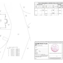
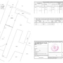
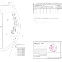
Geometric plans
A geometric plan is an essential technical document necessary for entering changes in the Land Register. Without the elaboration of a geometric plan, no building or a road may be approved, no parcel of land or its part may be sold off or exchanged, no land boundaries may be refined or changed and no easement to a part of a plot may be specified in its scope.
In the case that the site is situated on the territory of the Capital City of Prague, our office will also provide the “Certificate of Handing over Surveying Documentation” to the City Development Authority Prague.
Another very frequent reason for the elaboration of a geometric plan is the subdivision of a plot or the specification of the scope of an easement to a part of a plot.
Pursuant to § 79 of the Cadastral Decree, a geometric plan may be elaborated for the following purposes:
- change in the boundary of a cadastral area and the boundary of a territorial administration unit
- land division
- change in the boundary of a plot
- delineation of a building or a water work or changes in their perimeter
- determination of boundaries of plots in land consolidation
- complementation of sets of geodetic data by adding a plot previously registered in a simplified way
- correction of a geometric and positional layout of real estate
- more detailed specification of data on a parcel of land in accordance with allocation proceedings
- passage of staked out or refined boundaries of plots
- specification of the scope and extent of an easement to a part of a plot
We also prepare certified copies of geometric plans elaborated in our office. A certified copy has the same effect as the original and it may only be certified by an officially authorised Engineer – Land Surveyor (ÚOZI).


